Pyrénées
July 7th, 2004
Wednesday - Lescun to Etsaut
|
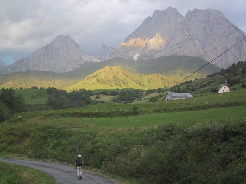
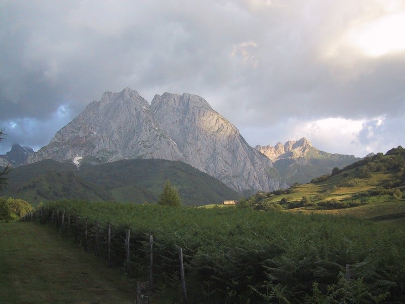
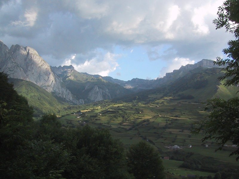
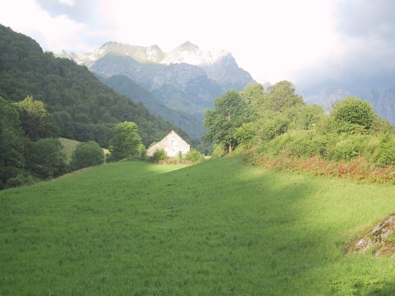
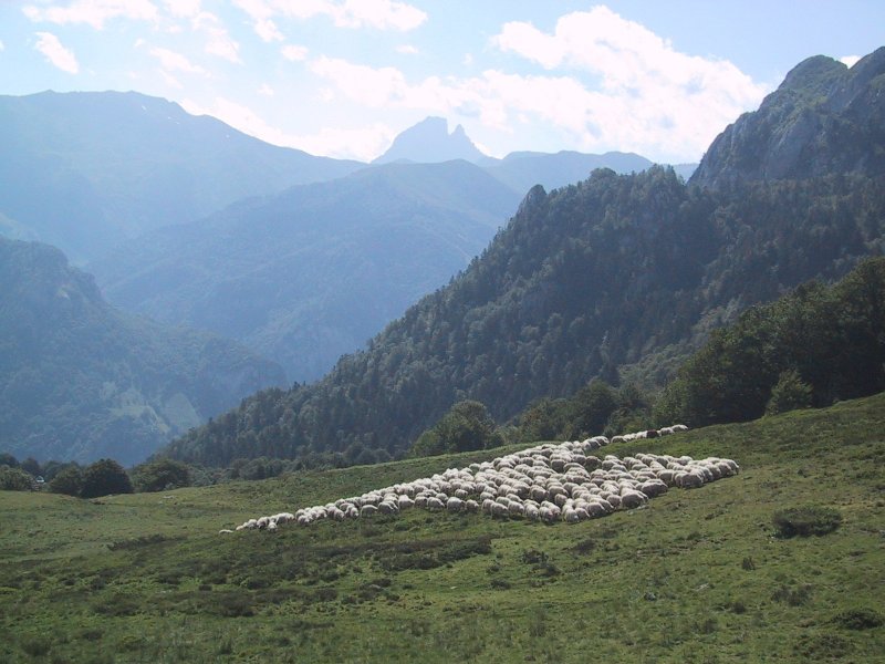
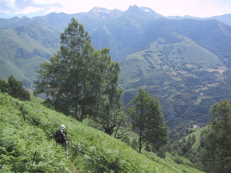
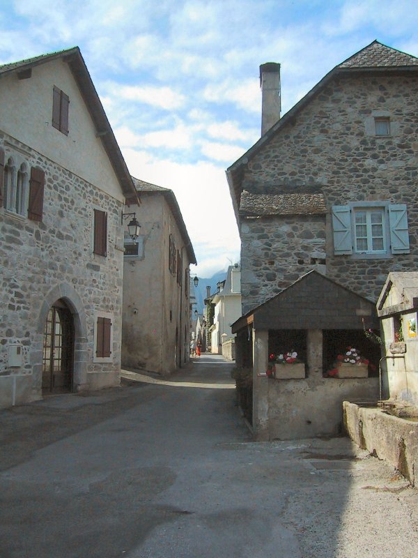
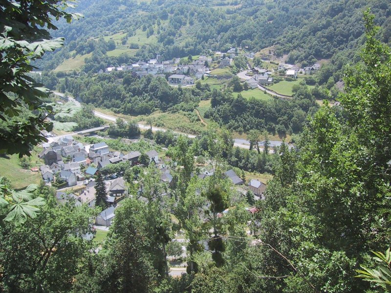
After Bon "brewed" coffee using the hot water in the sink, we were off at 7:04 a.m. The trail led out of the southern part of town with dramatic views of storms and sun on the peaks beyond. It was windy and the clouds were scudding northwards. There was blue sky with the moon above and dark clouds to the south while the sun began to glare over the mountains to the east. We hiked down a road and crossed a bridge taking a sharp upwards path past a campground. It mounted in fields which were brilliantly lit by the sun and then passed through woods to the northwest. As we came out of the woods we passed into the valley of Lhers descending with a hill rising on our right and beech trees and the valley beyond on the left. The beeches had lost a lot of their nuts in the strong wind. The trail descended to the road and followed it crossing a wide stream and then rising and turning left past a couple of buildings where three dogs greeted us. (One was a Great Pyrénées of which we had seen many.) Passing the farm the trail rose through pasture to the right and after climbing a bit we stopped for some bread and cheese. We could see Tom and Jane (sans Claire) coming up the road to the stream. They waved and came up below us as we got started. The trail wound through the yellow broom we had seen in the Cevennes (though it was not blooming now) and then emerged on a dirt road which made several switchbacks. At one of these we saw a high trail mark and a dirt path up into the woods. I followed it and the path turned into a stream coming steeply down. We mounted this and saw another old trail marker just before some fallen trees which we scrambled under and continued through some very wet trail only to find it petered out. After looking around for a while we backtracked to the road and discovered a newer trail marker there the trail had been rerouted. The trail continued to mount steeply for a long time now through woods. It left the road but remained a steep and tiring climb through woods until we reached Col de Barrancq. Here we dropped our packs and hiked up the alternative trail to get the view to the east which was spectacular with field descending and sheer rock cliffs on the right with mountains with snow to the east including Pic du Midi d'Ossau which had a distinguishing double peak. We sat and ate some raisins admiring the view but were quickly discovered by a horde of flies. After getting our packs back on, we descended through some woods and out into the field which we had seen from above. Here a shepherd was guiding a belled flock to higher pasture and we waved. We descended in the field admiring the orchids, avoiding the wet places and passing a broken-down stone hut. Then at a farm the trail went left and we entered a birch and beech tree forest with moss on the ground and in the trees. After a spell we met a French couple sitting down who pointed out a switchback and we descended further, finally coming out in a very steep field with high ferns with only an occasional tree in the heights and none below. The trail was narrow and the hill fell away steeply. Bon at one point lost her footing and fell down the slope catching herself. After many switchbacks I managed to slip as well, tumbling head down. I felt like an overturned turtle struggling to get up with the weight of my pack. The steep downhill continued for a long time until the trail crossed the stream and followed it to our right. This joined the road for a little turning off to the left where a guy with two poles breezed by us as I fell for the second time. He turned back and said in a French accent, "useful tool" as he raised one of his poles. The trail became draille lined with rocks and slippery where fresh hay had been cut. We emerged on the road above Borce and we walked past the church tower and found the gîte with George was standing outside. Tom and Jane were eating lunch in the back and we chatted with them discussing our detour on the bad trail, and then Alan came along and joined us. George and Alan showed us the short cut to Etsaut and we descended across a stream by a wooden bridge and then over the road by a more substantial footbridge. We walked south to the bridge across the river and north into Etsaut where we booked a room in the Hotel des Pyrénées (with blinking neon sign). We unpacked our food and walked up through the town following signs to a view point. There wasn't a good picnic site until I opened a gate in a fence on the terraced field of a private house. We had a nice picnic over the town. But we were tired from the steep up and down. We went back to the hotel where a young woman helped us make a reservation for a hotel in Gabas. Then we found Tom and Jane (and later Alan and George) and had a beer with them as strange almost religious music blasted over the loudspeaker system in the square. We all bought new maps with the more detailed scale. We then went back with Tom and Jane to their gîte to discuss changing our route to the high route but eventually vetoed the idea. Bon and I made the chilly descent to our hotel again where we showered and washed clothes. We had dinner at the hotel restaurant which I did not think was very good although I had a delicious appetizer of ham in crepe covered with a cheese. My coq au vin had the chickens head with beak! I was very tired and not very good company. Bon had said that we should walk up to the others to have a game of foosball, but I was too tired after dinner at 9:30 p.m. - we later learned that the others were tired too and went to bed at 8:30 p.m.! I lay down on the bed for a minute after dinner and woke up at 11:30 p.m. and turned in. It had been a hard day even though we had finished at about 1:10 p.m. in the afternoon. |
|
|
|
Copyright 2005 Donald R. Chauncey - All rights reserved |


