Cévennes
June 4th, 2003
Wednesday - le Bleymard to le Pont-de-Montvert
|
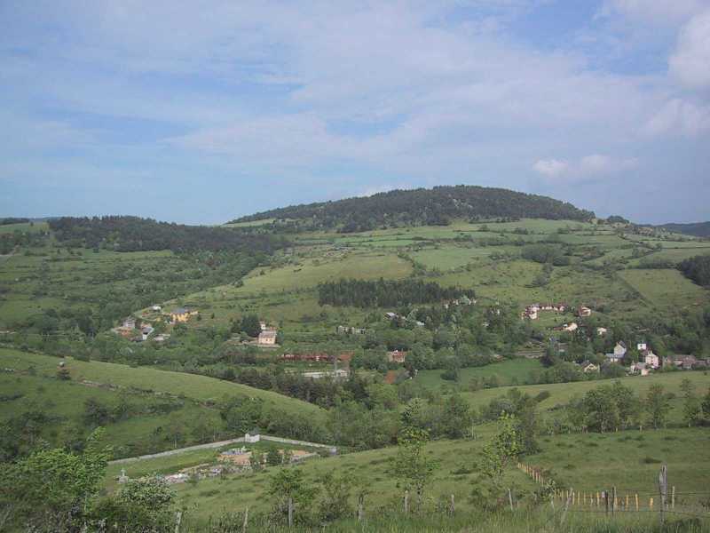
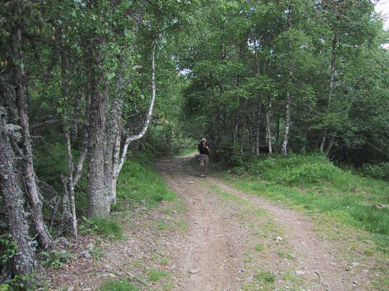
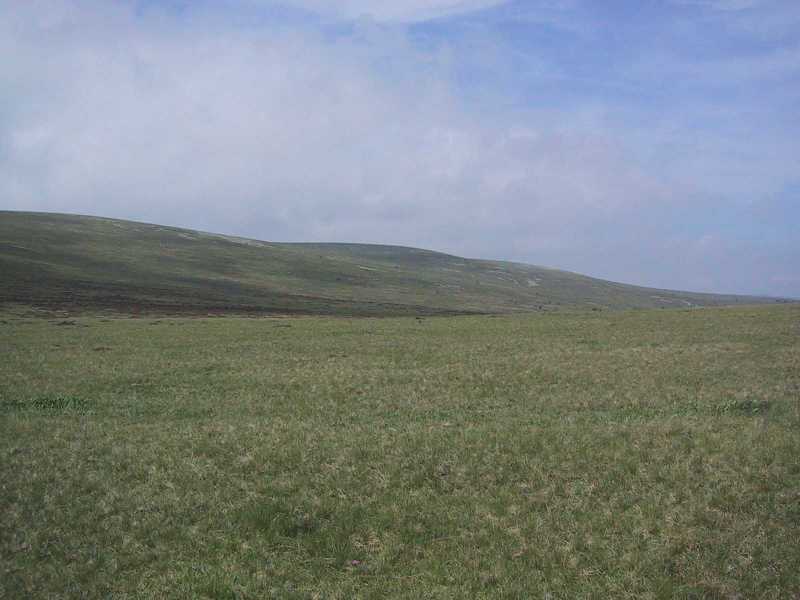
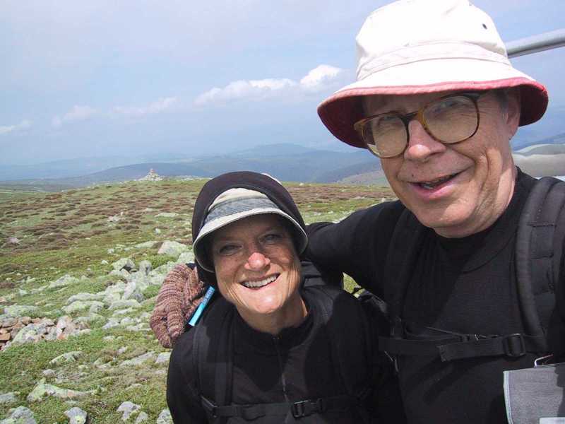
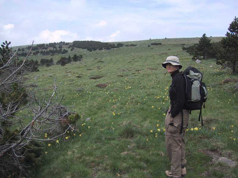
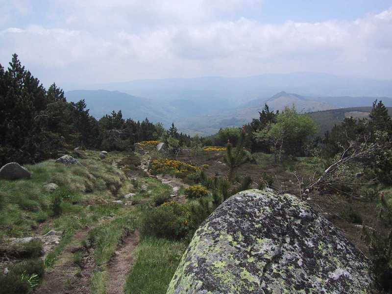
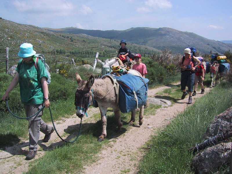
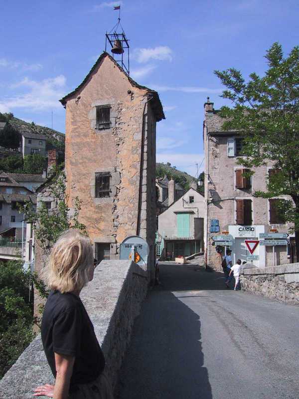
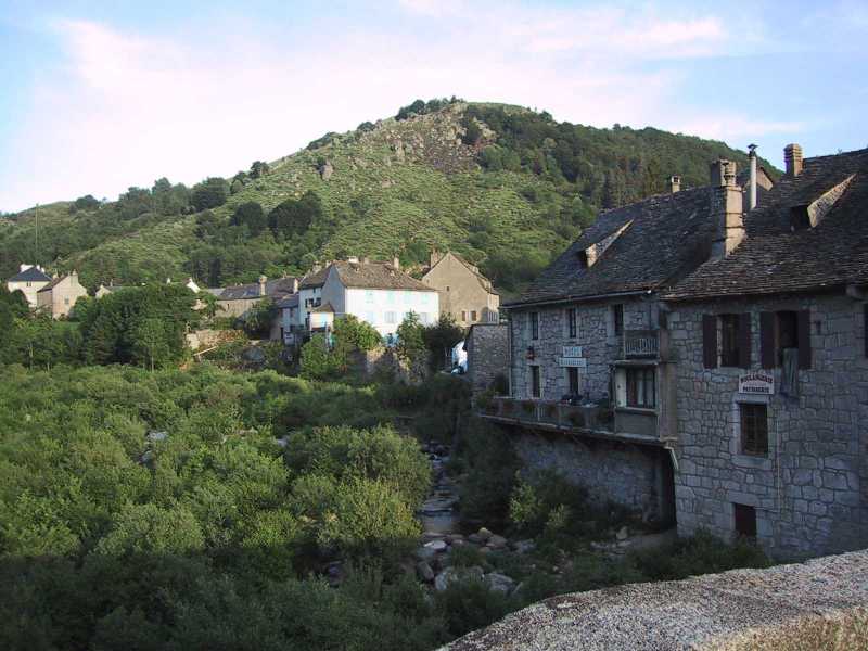
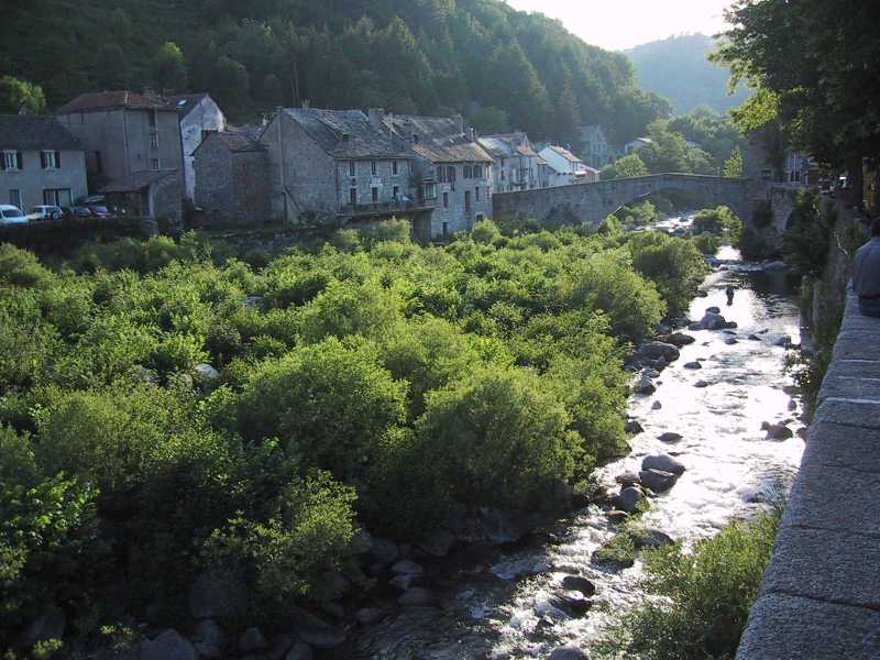
After breakfast (with eight homemade jams) we bid goodbye to our hosts and fellow guests and left St-Jean-du-Bleymard about 9:05 a.m. We backtracked through le Bleymard where we had some difficulty finding the trail to Mont Lozère, the highest mountain in this area. It was chilly and windy day as we started out through fields with vistas back over Bleymard and our path of the previous day. At a forest the trail mounted steeply and almost straight up the mountain for about two kilometers. This was uneventful and nice woods but not very interesting. As we gained altitude the wind increased and it became colder and we each added a layer. There were fields by the trail with wonderful flowers; small dark purple pansies and what seemed to be two Arnica yellow flowers. The trail rose again through more woods. As we emerged from these woods we came to a large parking lot, ski center and gîte and for a while tracked alongside the major road through the park. As we climbed there was no vegetation on the hill except a heather-looking gorse and grass and an occasional short pine. The trail was marked with menhir-like stones every hundred yards or so and there was a vast barren mountain and swale ahead of us. The wind was in our faces and was probably between 25 and 35 mph with a layer of clouds scudding by with shadows racing across the landscape. We mounted to a col from which we turned right to the Sommet de Finiels. First we came to an initial peak at 1688 meters with views below and then to a higher summit which was 1699 meters, but because of the gradual slope at the higher point there was no view - just grassy slopes on all sides. We did not stay long due to the wind, but took a left hand turn at the top to a gradual grassy descent along the Stevenson Trail (GR 70). As we approached the woods below we saw our first wild daffodils. Most were slightly past their prime but there were still scattered yellow ones. We walked along a tree line for about 100 yards taking a right to descend by a field of wild daffodils - an extraordinary sight. After admiring the daffodils, we descended steeply on a rocky trail through woods with the yellow broom among the rocks. It was a hard going for 20 minutes or so until we reached a dirt road. The trail turned right on the road followed by an abrupt left by a stone shelter. We continued down looking for a right-hand off the road and for a place to have lunch. We checked our bearings with the Garmin and realized we had to go further to reach the turn. At the turn we passed through more woods and finally out to a expansive view of the south side of the mountain. We plopped down in a field nearby and had a delightful picnic in the sunshine with the yellow broom and rocky bare mountains in front of us. We both napped a little in the warmth of the sun. We enjoyed the next stretch, down a rocky road with fields with cows above us on our left and rocky hills and fields of flowers below us on our right. We saw more narcissi and something that looked like clover but a darker pink in a clump. We soon hit the town of Finiels but the trail only skirted the town. We stopped to peel off a layer and later I dumped a little water to lighten my pack. We left the road passing fields with granite boulders, turning back to a trail with broom and many flowers. On this we were passed by an entourage of donkeys, parents, children and a disgruntled teenager headed up the mountain. They numbered 15 or more - quite an expedition. The trail sharply descended among the rocks over a small wooden bridge and between two barbed wire fences for a long stretch. It was narrow and rocky and I was tired. Finally the trail opened and there was a sign for le Pont-de-Montvert - two kilometers and something like tempe cuve which we didn't understand. The trail mounted for a short while and then hit a macadam road which descended by a flowery field and across a rushing stream. We thought again we had lost the way but the Garmin positioned us on the map and we continued uphill a short way until we hit the main road which descended to the town. The trail diverged from the road just before town and passed down an old cobbled walkway and right though a building which was a museum of the region, a gîte and a library. We did not stop but went down into the town where we reconnoitered the three hotels. The first was full and the second closed until 6:00 p.m. We quickly walked across the bridge (with tower) to the third. There, a woman who was not the manager, showed us two rooms. The second, across the street and up several stairs by itself (#9) was lovely. Agreeing to this, we walked around the town in the sunny, light, soft air of the afternoon. At the hotel we had a delicious dinner of tomato soup, pork and champions in cream with rice and wheat berries, cheese and creme caramel all accented with a bottle of Cotes du Rhone. After dinner, we walked up to the top of the west side of town to see the waterfalls and down the rocky quiet streets. As we crossed the bridge to the hotel at 10:00 p.m. we could see two fly fisherman in the fading light with a crescent moon beyond. |
|
|
|
Copyright 2003 Donald R. Chauncey - All rights reserved |


